Utility & Telecom Networks—Mapped with Precision.
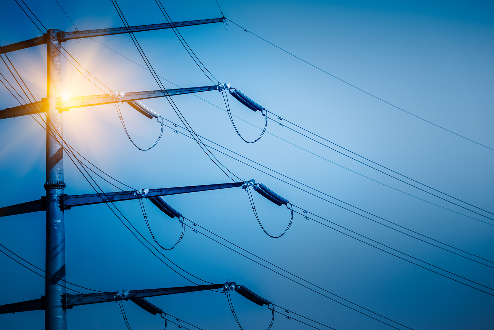
Achieve efficient utility management with comprehensive maps that clearly represent your electric, gas, sewer, and telecom infrastructure.
Utility Mapping is the process of identifying, locating, and documenting underground and above-ground utility networks such as electricity, gas, water, sewerage, and telecom infrastructure. At AvinZon IT, we specialize in delivering precise and comprehensive utility maps to support safe excavation, effective planning, and efficient asset management.
Services Include:
- Electric, Gas, Water, Sewerage, and Telecom Mapping
- Ground Penetrating Radar (GPR) & GPS-Based Surveys
- GIS Integration for Spatial Utility Data
- As-Built Utility Documentation


AvinZon IT specializes in precise and detailed Utility Mapping Services for critical underground and surface infrastructure, including Electric, Gas, Sewerage, and Telecom networks.
Our advanced tools and experienced team ensure accurate detection, documentation, and visualization of utility assets to support safe and efficient infrastructure development.
Our Services Include:
Precision Mapping for Smarter Telecom Networks.
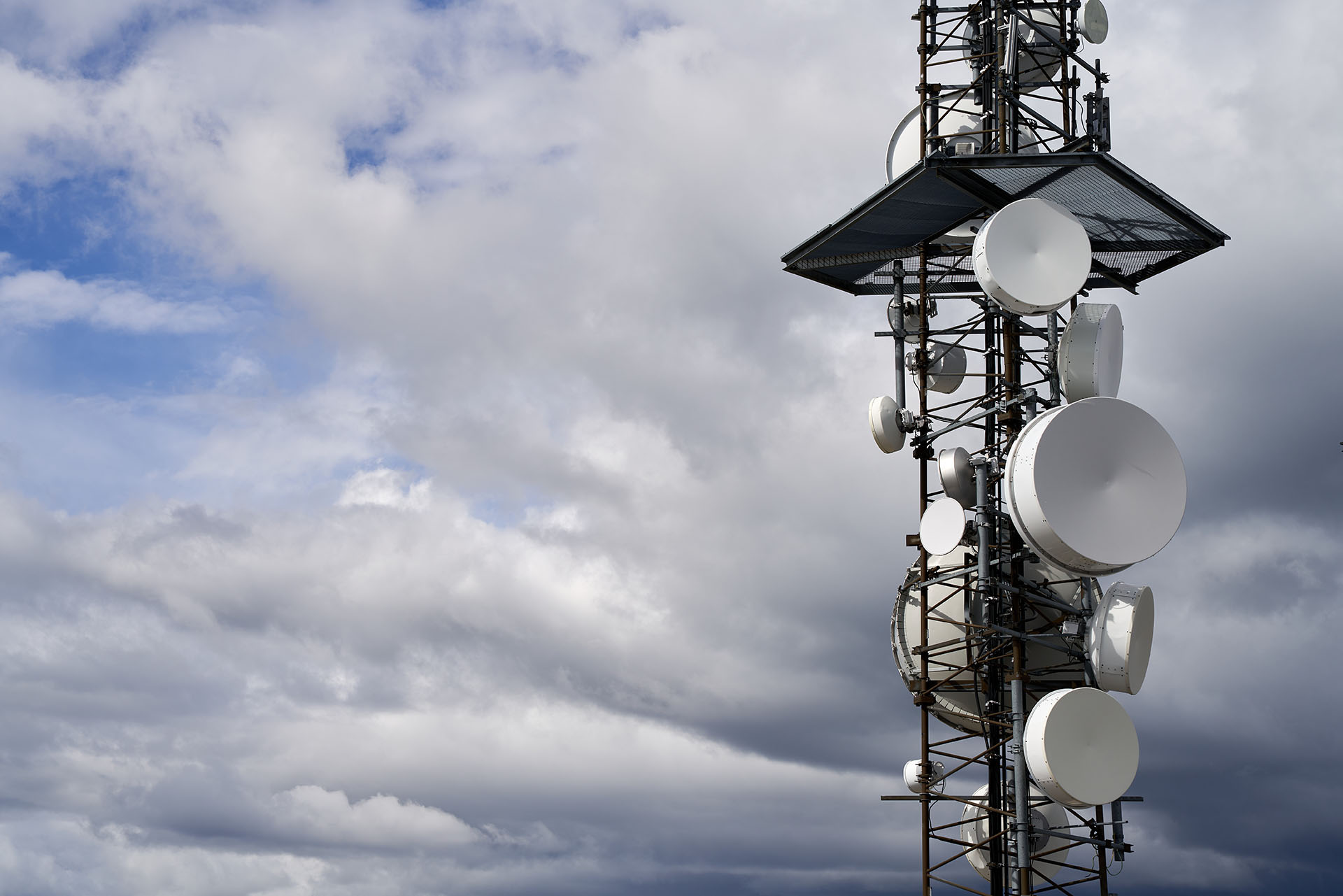
AvinZon IT provides accurate and reliable Telecom Utility Mapping Services to locate, document, and visualize communication infrastructure such as fiber optic cables, telephone lines, ducts, and underground conduits. Our services support better planning, maintenance, and expansion of telecom networks.
Key Features:
- Mapping of fiber optic and copper cable routes
- Identification of telecom handholes, junction boxes, and conduits
- Communication ducts and handholes
- Manholes, telecom poles & cabinets
- GIS-based telecom asset documentation
- Integration with GIS for efficient network management
- Pre-construction surveys to avoid network disruption
