-
 A premier provider of GIS, CAD, and Engineering servicesDemonstrating a history of delivering high-quality, cost-efficient, and prompt services
 -
 Establishing reliable collaborations with over 25+ clients across 3 continentsWe build genuine business partnerships centered on shared success and trust
 -
 Lead with purpose. Imagine the futureWe believe our success depends on the community we serve and should reflect its overall growth
 -
 Trustworthy Business AssociateYour contributions to our performances play a crucial role in the overall success of our business, and we would like to extend our heartfelt gratitude for that
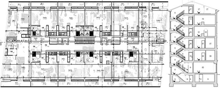
CAD Vectorization
Converting raster images or hand-drawn sketches into precise, editable CAD vector files.

GIS and Utility Mapping
Delivering accurate geospatial data and infrastructure mapping for efficient planning & management.

3D Visualization
Our 3D visualization services bring your concepts to life with detailed and immersive graphics.
In the modern era, GIS, CAD, 3D and mapping technologies play a crucial role across multiple industries, Creating a critical need for spatial data insights.
AvinZon IT is a leading provider of end to end GIS, CAD, 3D and Mapping services to its clients worldwide. The company combines deep domain expertise, strong finances, skilled resources to meet a wide range of client requirements in the areas of geospatial and Engineering services.
Why AvinZon IT
- Versatile professionals equipped to deliver services that are independent of any specific platform
- Extensive knowledge and substantial experience across all the sectors in which we function

About AvinZon IT
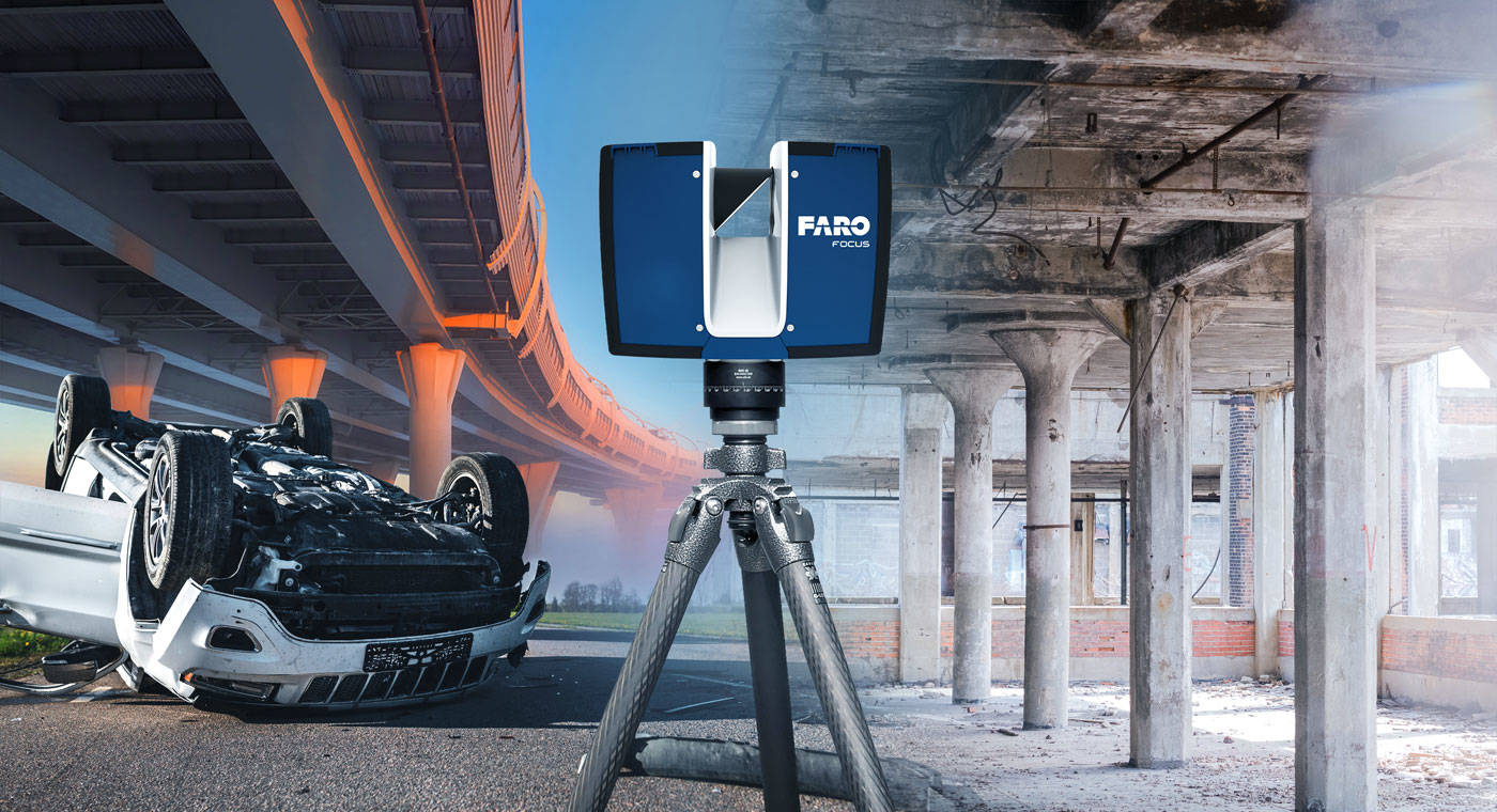
At AvinZon IT, we specialize in delivering high-quality Geospatial, CAD, and 3D Visualization solutions that empower businesses to plan, design, and execute projects with confidence. Our expertise spans GIS mapping, utility surveys, CAD drafting, point cloud to CAD conversion, and photorealistic 3D rendering — all backed by precision, innovation, and reliability.
We work with architects, engineers, construction firms, real estate professionals, and utility companies to transform raw data into actionable insights and visually compelling deliverables. By combining advanced technology such as LiDAR, GPS, drones, and industry-leading CAD and GIS software, we ensure every project meets the highest standards of accuracy and presentation.
Our Commitment:
- Delivering quality you can trust and timely results you can rely on
- Adapting solutions to suit diverse industries and unique client needs
- Offering end-to-end service — from data capture to final presentation
At AvinZon IT, we don’t just provide services — we build long-term partnerships based on trust, expertise, and results.
House number : C-19
Near Godibandha Hospital,
Talcher, Angul,
ODISHA 759100, India
Tel : +91 8339901512
info@avinzon.com